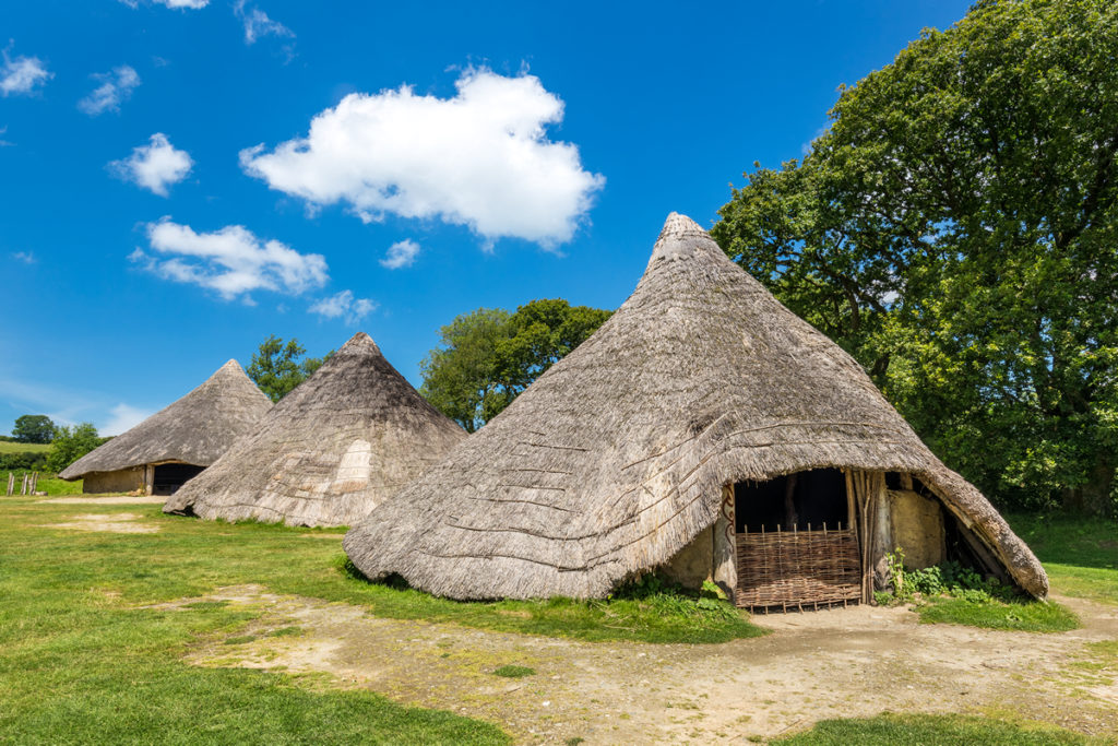
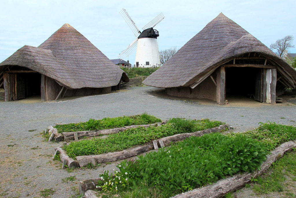
The impacts that people have had on the landscape of Cwm Idwal and the surrounding area are quite apparent. But there is more to discover about our ancestors’ history under the surface.
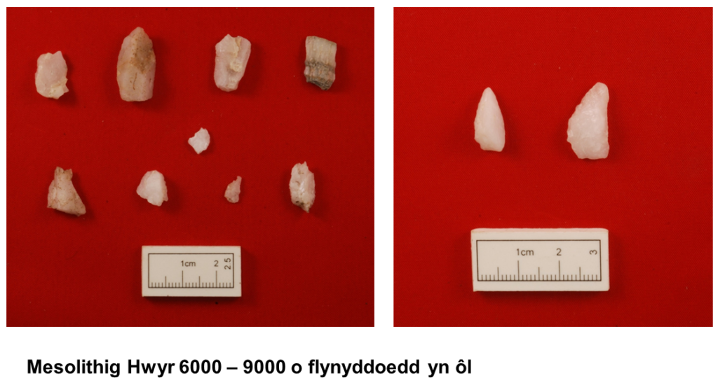
People have been living in the mountains of Snowdonia for thousands of years, and the map below show how many archaeological sites are scattered across the Glyderau and Cwm Idwal.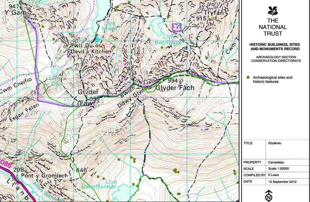 s the ice receded following the ice age, people moved into the area. It’s likely that the first migrants to Snowdonia were nomadic tribes, moving from one area to the next to hunt. Following a recent study in Cwm Idwal, small pieces of quartz were found by a ruin of a Hafoty, near Clogwyn Y Tarw, and on the beach that lies on the Northern shore of Llyn Idwal. By studying these pieces of quartz under a microscope lens, the archaeologists could see that the pieces had been deliberately honed.
The remains of round huts are further evidence that people settled here in Cwm Idwal. Locations of many roundhouses can be seen on the previous map of archaeological sites. Below is a timeline showing the different ages that People inhabited Cwm Idwal.
Ice Age
Mesolithic Stone Age
Neolithic Stone Age
Chalcolithic Copper Age
Bronze Age
Iron Age
An example of how a roundhouse site near Cwm Idwal looks today is shown below. We can also see below how these roundhouses would have looked in the bronze and iron ages thanks to the recreation work completed in Melin Llynnon, Ynys Mon, and Castell Hwnllys, Pembrokeshire.
During the iron age, there were great changes in the way people farmed. Instead of travelling around with their animals, people were enclosing plots of land and establishing simple fields for grazing. Any change in land use would affect the landscape including the distribution of plants and animals.
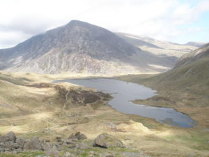 This picture makes it clear that deforestation in the area started a long time ago, and that agricultural practices since than have limited the opportunities for trees to dominate the landscape.
Trees such as rowan and holly grow in the remotest parts of Cwm Idwal, such as the steep cliffs of Y Twll Du (Devil’s Kitchen) and if the experiment to shepherd grazing animals away from Cwm Idwal continues, perhaps we will see trees re-establishing here in the future.
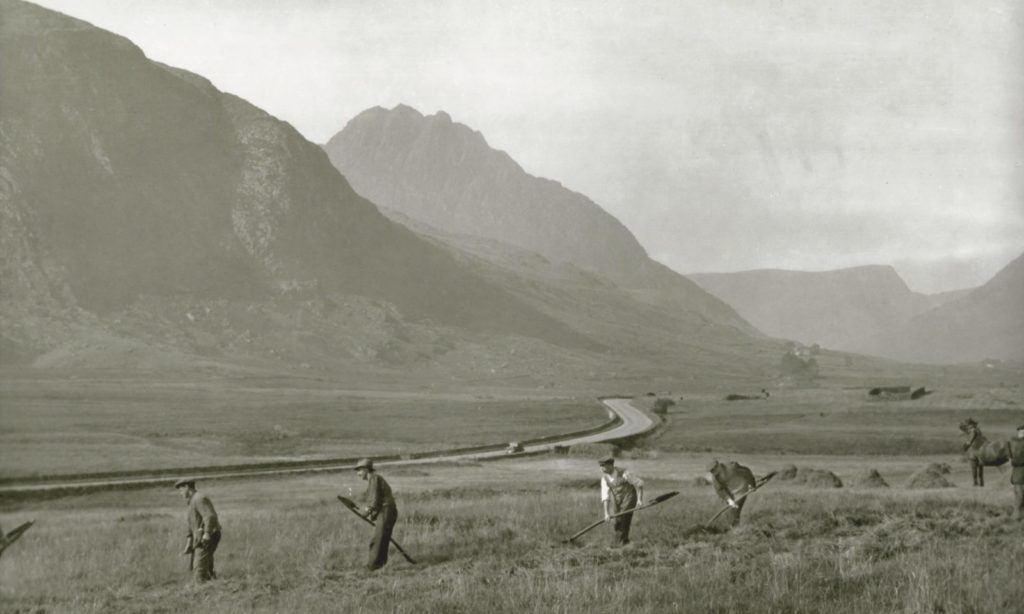
The picture above shows how the area was farmed in the 1950s, and a much deeper insight can be found in Margaret Roberts’ book – ‘Oes o fyw ar y mynydd’ (A life of living on the mountain).
We can learn a lot about our ancestors’ customs by studying the archaeological sites, but the place names we have in Cwm Idwal and Nant Ffrancon can also speak volumes about our history. One element that stands out in the landscape is the reference to keeping cattle, or oxen. In Cwm Idwal itself, there is Clogwyn y Tarw (Bull’s Cliff), and further down Nant Ffrancon is Cwm Bual. The word ‘Bual’ contains the same element – ‘Bu’ – as in the word ‘bugail’ (shepherd). The word ‘bugail’ originally referred to handling cattle in Wales.
