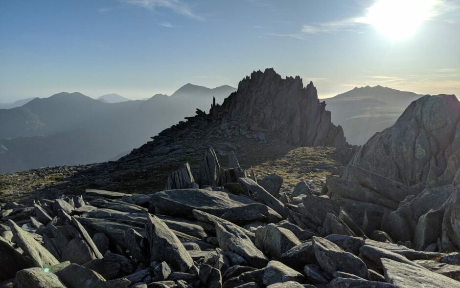
The rocks are exposed to the elements in several places, especially on the highest slopes and summits. However, they are covered by rock strata, glacial deposits, soil and alluvium in most of the catchment area. Clear evidence of freeze-thaw can be seen – scree, piles of stones and tors (pieces of more resilient rock that were not weathered to the same extent as the other).
There are differences that reflect the nature of the rocks, e.g.:
a) Sandstone and igneous rocks are more resilient, with breaches further apart. These break into larger pieces forming tors and piles of stones.
b) Where the faultlines are close together, e.g. between mudstones and siltstones, the rocks break into smaller pieces to form scree slopes, e.g. Cwm Perfedd, Cwm Ceunant, Cwm Bual.
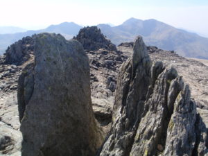
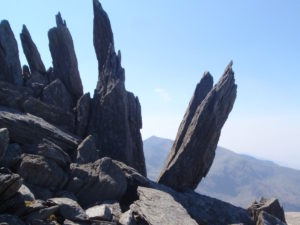
There are more than 50 tors on Glyder Fawr, with an average height of 2-5 metres. On Glyder Fach they are even bigger, e.g. Castell y Gwynt, which is over 50 metres in height on one side.
Biological weathering is taking place throughout the catchment area. The clearest examples come from the highest slopes, e.g. above Cwm Idwal, with individual trees and bushes growing from fissures in the remotest rocks.
Chemical weathering occurs here where the elements react with the rock making them less resistant to weathering. There is no limestone in the catchment area, therefore there is no carbonisation (although this is seen across the Menai, in the Penmon limestone).
Where next…
Geography
During the Ice Age, a thick layer of ice extended over a wide area of…
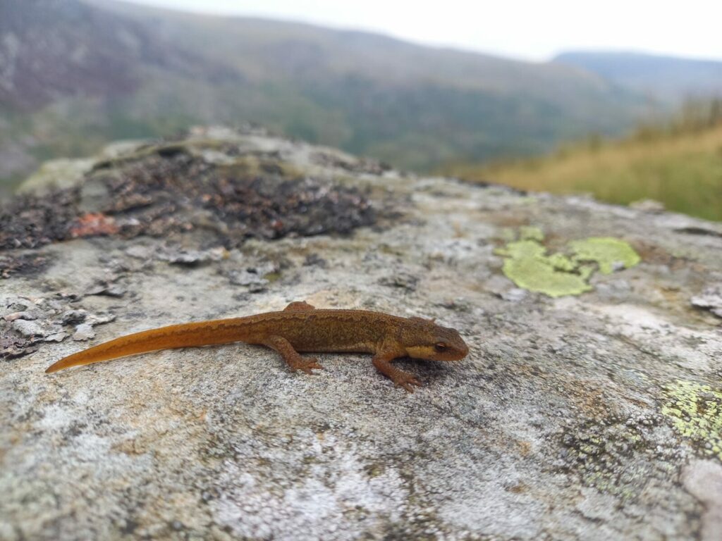
Cwm Idwal Wildlife
Cwm Idwal National Nature Reserve holds a variety of habitats which sustain a host of…
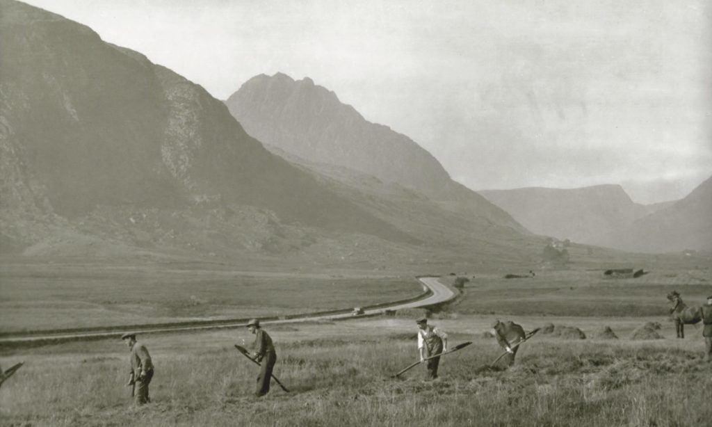
The People of Cwm Idwal
The impacts that people have had on the landscape of Cwm Idwal and the surrounding…
Timeline
450 Million years ago Rocks of Cwm Idwal are formed Volcanic eruptions produce lava, ash…